Day 26 – 29: last scientific operations
May 15th-18th 2022 | Off the Eastern Cape province, South Africa
Lea Nupnau
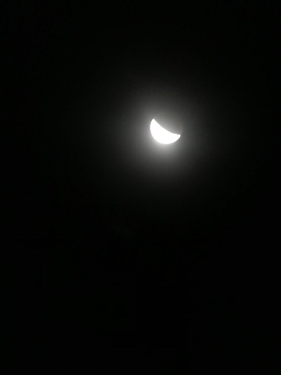
Welcome back to the blog and good morning after an amazing eclipse!
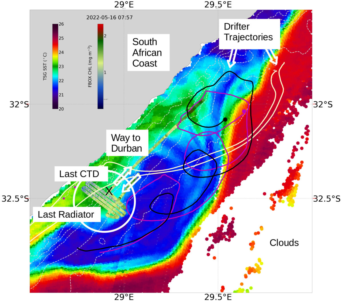
On the 16th of May there is hardly a week left until our return to Reunion island. The eddy we‘ve been following is slowly decaying and we‘re making one more radiator trip (sampling along a grid pattern, you can get an idea from looking at the map) before sampling one last vertical profile using the Rosette with the CTD and all the instruments deployed on it.
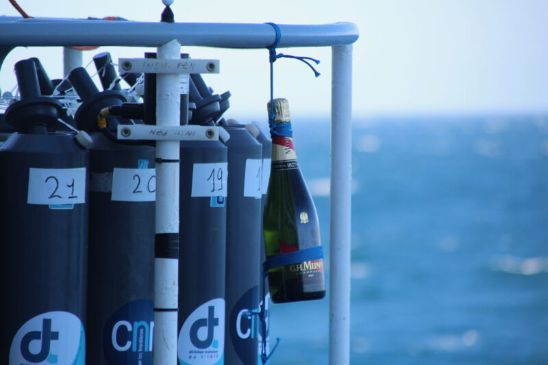
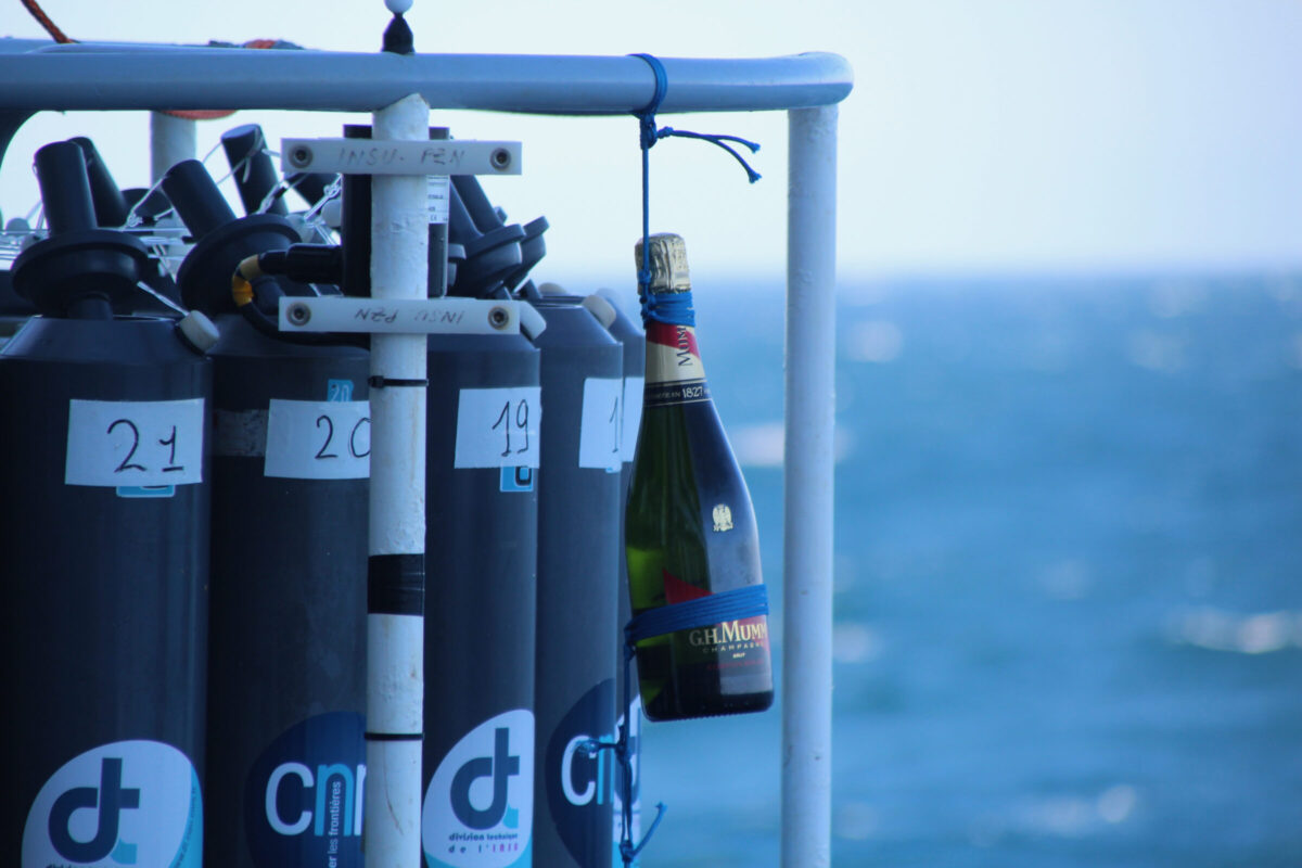
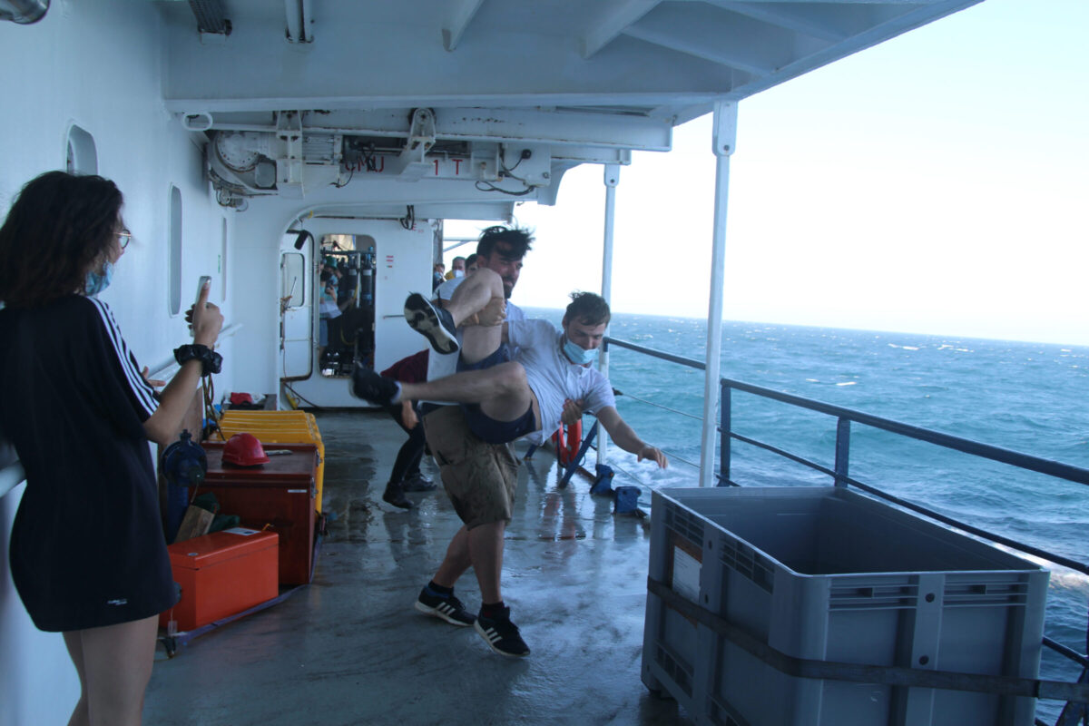
Using the Rosette for the last time is another indicator that our mission slowly comes to an end which is a nice occasion to have a little celebration. We wouldn’t be scientists if we weren’t creative, so to make it a little bit more special we attached a bottle of champagne to the Rosette to share just after it went down to 100 m depth.
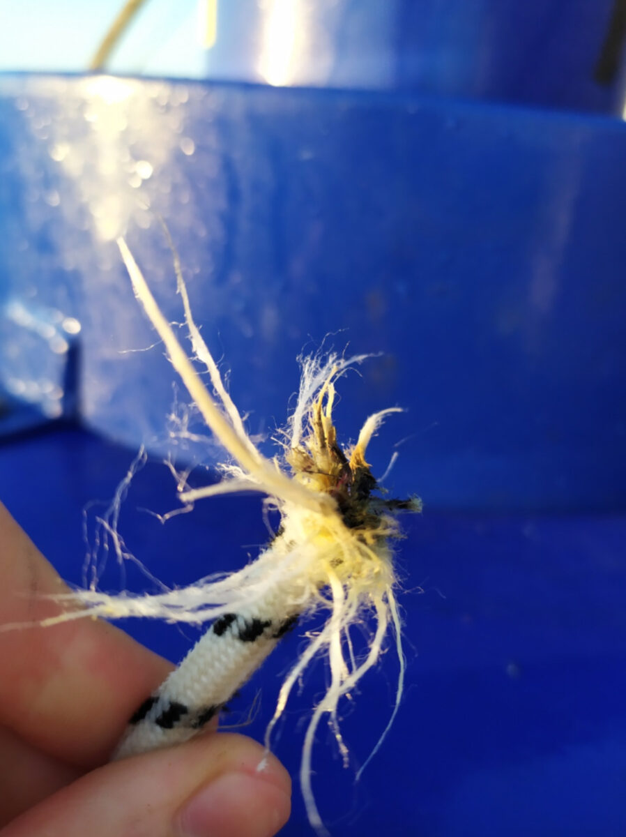
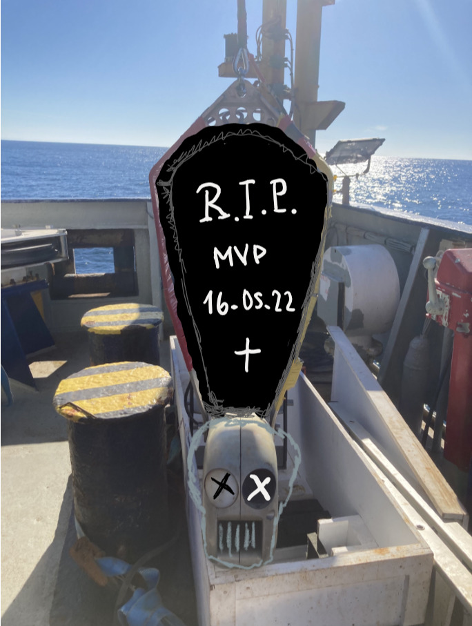
Some took the occasion to get a revenge for water that got spilled (intentionally or unintentionally) on diverse shirts, shoes or heads, others still had to digest the fact that in the morning our MVP (Moving Vessel Profiler) left us forever because the cable broke. Of course we wouldn’t to justice to our campaign name RESILIENCE if we didn’t manage to move on and activate the next backup plan such as using the Scan-fish instead.
The next day brought another project of the instrument deployments to an end: the retrieval of the wire-walker from the water that we had left close to the Durban coast. The instruments that were recording data while hanging vertically in the water column can be detached from the weight that attaches them to the seafloor by sending an acoustic signal to a hinge that will then open itself. The buoyancy of the buoy that is on the top end of the wire walker will cause the instruments to float up to the water surface where it can be picked up. Three days ago we were still worried that potential rough weather conditions would complicate this whole process but in the end the sun was out and the sea quite calm so we were able to stick to the planned schedule.
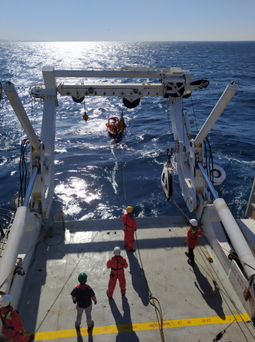
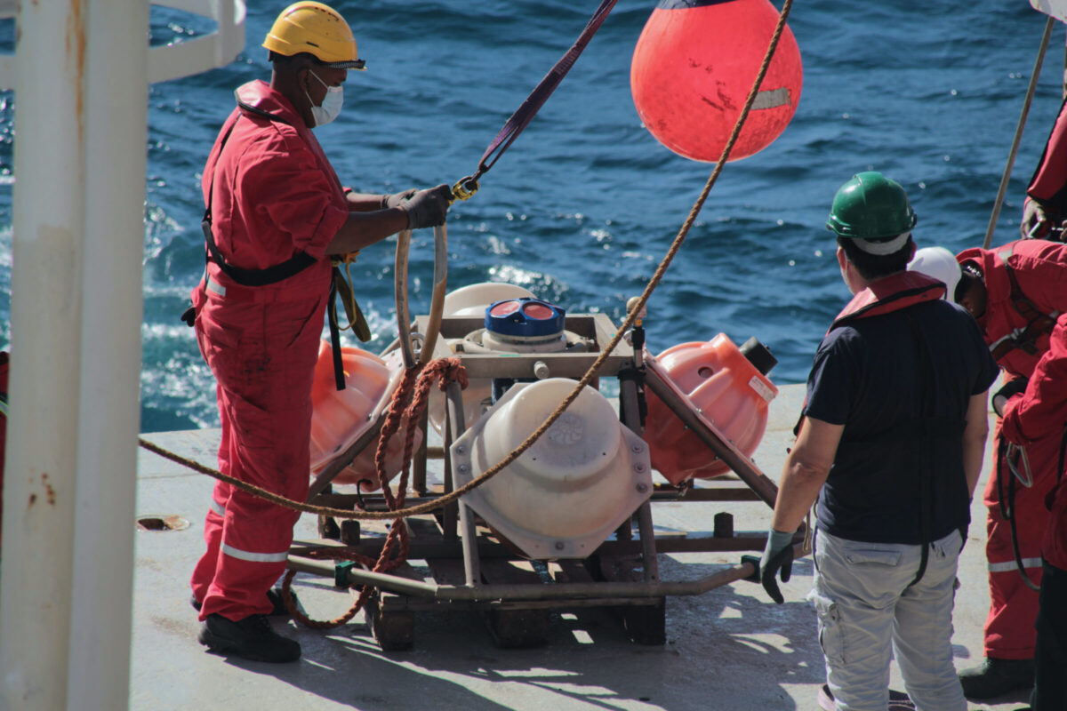
Retrieval of the wire walker
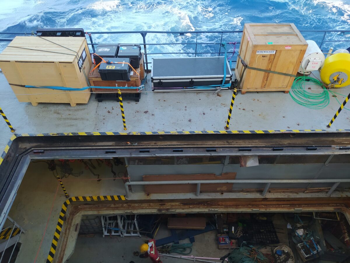
Now we are in transit once again heading towards the Reunion Island. However we will still make some intermediate stops to deploy some Argo floats (Oceanographic instruments drifting with the currents and making vertical profiles, while they measure different oceanographic parameters and send them via satellite when they resurface). Meanwhile everyone starts to slowly tidy up, range and store the equipment which brings to light some of the unsuspected storage space of the Marion Dufresne.
 Attention, vous utilisez un navigateur peu sûr !